Roberto Rovira

Cuba

Map of Cuba. Hand painted intaglio map. +

Florida Fauna Maps

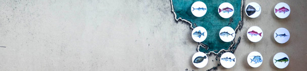
These hand painted intaglio prints document typical Florida fauna and feature birds, fish and butterflies that can commonly be found in the state.    Exhibit at Frost Art Museum:

San Francisco Infinite Observer

Infinite Observer plays upon the idea of an infinite loop between observer and observed as one surveys a cartographic representation of land and city. The boundary between the observer and the observed is ambiguously juxtaposed, creating new spaces and new … +

Continental Migration Prints

These cartographic displacements simulate the geographic migration of Latin American and Caribbean countries and nations onto three US cities. The geometric sum of their shapes creates new, imaginary landforms that reflect the multicultural diversity brought on by urban migration in … +

Puerto Rico

Map of Puerto Rico. Hand painted intaglio map. +

Land Prints

This ongoing research project investigates the relationship between the act of mapmaking and the land it represents, by using metal plates that are embedded in the ground for a period of time and are used to create various maps at full scale. +

California Wine Country

This series of maps documents the wine country regions where Roberto Rovira worked and lived from 1998 to 2005. +

California

Stags Leap

The pursuit of printmaking and mapmaking is at the heart of many of the studio’s projects.  These are deployed as a way of researching subtleties of place and work parallel with writing and exhibiting through galleries, museums, library collections and private commissions.
+

Granada

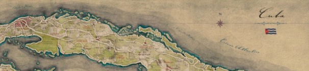
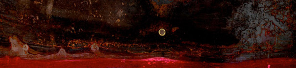
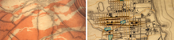
The city of Granada, Nicaragua was studied through progressive mapping, in an effort to uncover the ineffable qualities of its landscape. Using the technique of intaglio printmaking as a starting point, numerous cartographic constructions were created, uncovering the potential of the map as a medium of prediction, as +
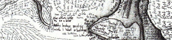
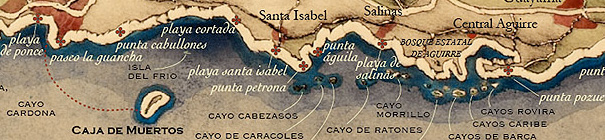
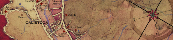
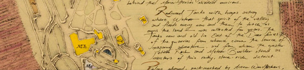
New England

Mashpaug Pond, RI +

Prints

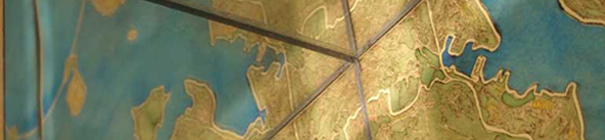
Over the years, the print and the map have become important tools of investigation for the studio. Their resonance with landscape architecture comes in the way that layers and markings become vehicles for discovery
as much as invention. The careful transformation of the print provokes a keen awareness of landscape’s complex relationship with history, geography, ecology, and context, and the designs we place upon these over time.